To see a subsurface ocean, we do not have to drill through kilometers of ice immediately. First, we must learn to read the surface as a consequence of what is happening below.
Ice thickness, deformation and faint changes in gravity give researchers an indirect yet remarkably detailed picture of the hidden ocean. Several methods complement one another and shrink the space left for guesswork.
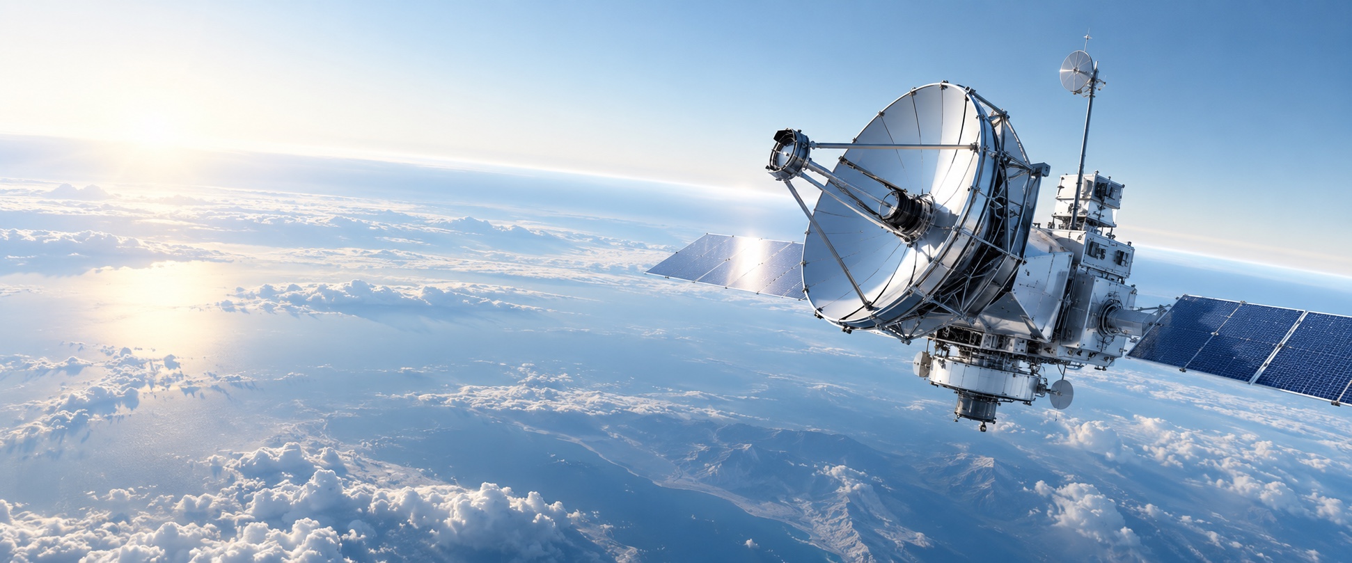
Orbital radar records layer boundaries, a camera watches fresh fractures, and a spectrometer searches for material brought up from below. Together they help identify places where a future lander can gather the most data with the least risk.
This is slow science. But that order—map first, land second and drill only afterward—is what turns an elegant hypothesis into an exploration program.